Sabah, located on the northern portion of Borneo, is the largest state in Malaysia. It shares land borders with the Malaysian state of Sarawak to the southwest and Indonesia’s North Kalimantan province to the south. The Federal Territory of Labuan is an island just off Sabah’s west coast. Sabah is known for its diverse tropical rainforest and experiences an equatorial climate. The state capital of Sabah is Kota Kinabalu, which is the most populous city in Sabah. Other major cities and towns include Jerteh, Kuala Dungun, Chukai, Kuala Berang, Marang, and Permaisuri.
Sabah was known as North Borneo during the British colonial period until 1963. Its land area is dominated by Mount Kinabalu, which is 4,101 meters high. A great tangle of ranges—the Crocker, Terus Madi, and Witti—serrate the interior and include many peaks between 4,000 and 6,000 feet. Between the Crocker Range and the sea on the west coast is an extensive, well-populated coastal plain. Other plains lie inland between the mountain massifs, while the eastern lowlands are partly dissected peneplains. Sabah is richly blessed with nature diversity, unique cultures, fun adventure, beautiful beaches, and fantastic cuisines for the adventurous taste buds.
The Map of Sabah
Landmarks
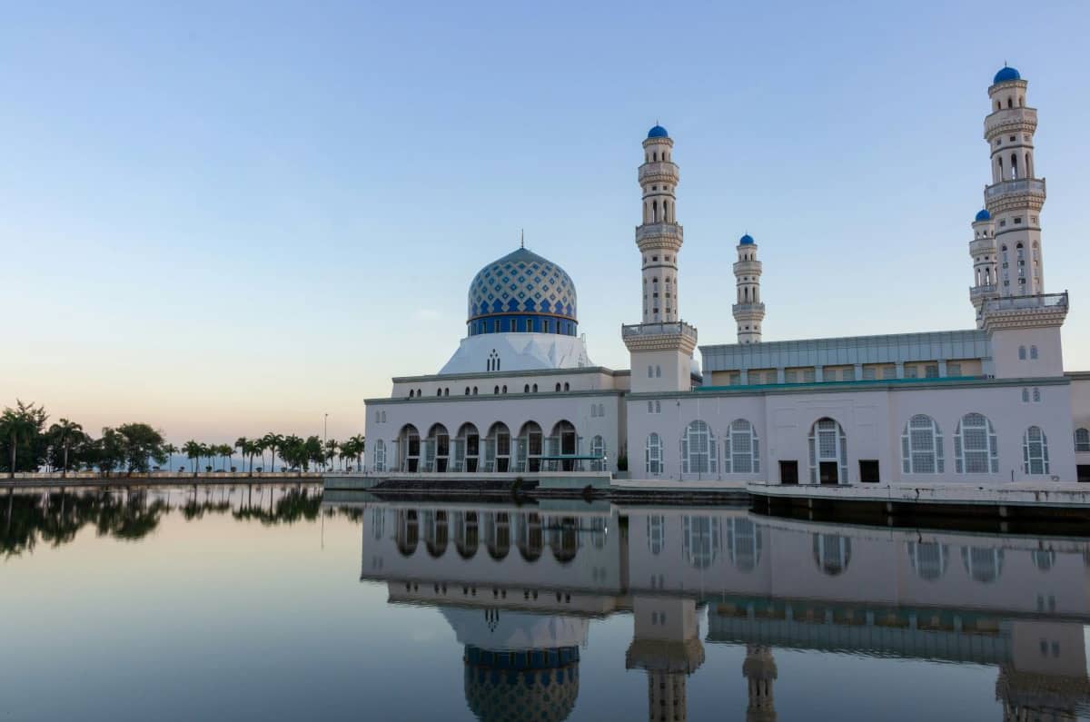
Sabah, known for its natural beauty, boasts several remarkable landmarks. From the serene Kota Kinabalu City Mosque to the majestic Tip of Borneo where two seas meet, there’s something for every traveler to explore.
Neighborhoods
Sabah, known for its natural beauty, boasts several remarkable neighborhoods. From the serene Kg Pukat Fisherman Village with its alleys and stilt houses to the cultural experiences of Koisaan Cultural Village, there’s something unique to explore in each corner.
Food and Drinks
Sabah, a Malaysian state on the island of Borneo, boasts a rich culinary heritage. Some must-try dishes include sang nyuk min (a noodle soup with pork slices), smoked wild boar meat, and amplang (crispy fish crackers).
Shopping
Sabah offers a delightful shopping experience with a mix of markets and malls. Explore the vibrant Gaya Street Sunday Market for local foods and souvenirs, or visit Imago Shopping Mall for boutiques and restaurants.
Night Life
From enchanting night cruises along the waterfront to savoring unbeatable fried chicken at Borenos, there’s something for everyone in Kota Kinabalu’s lively nightlife scene.
Green Spaces
Kuala Lumpur is home to several green spaces, explore places like Taman Tugu, Kuala Lumpur Forest Eco Park, Perdana Botanical Gardens, and Permaisuri Lake Garden, all of which provide city dwellers and visitors alike with beautiful, tranquil spaces for recreation and relaxation.
Transportation
Kuala Lumpur boasts an efficient transportation network, from the MRT (Klang Valley Mass Rapid Transit), LRT (Light Rail Transit), Monorail, and KLIA Transit (KLIA Ekspres), to public buses, KTM Komuter, taxis, and e-hailing services, making it easy for both locals and tourists to navigate the city.
Accomodation
Kuala Lumpur offers a wide range of accommodations to suit every budget, from luxury hotels like the Hilton Kuala Lumpur and The Royale Chulan Kuala Lumpur, to more affordable options, all providing excellent service and facilities to ensure a comfortable stay.
Travel Tips
When traveling to Kuala Lumpur, it’s crucial to familiarize yourself with the city’s cultural diversity, use the efficient train system or Grab for commuting, prepare for hot weather, shop wisely, visit the gardens and night markets, and make sure to savor the national foods.