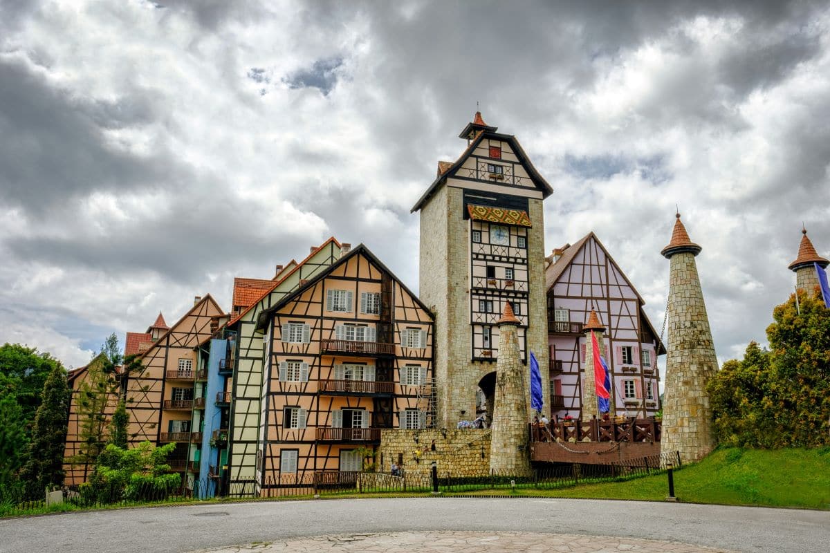
Pahang, the largest state by area in Peninsular Malaysia, is located on the west coast of the Malay Peninsula. It shares borders with the Malaysian states of Kelantan and Terengganu to the north, Perak, Selangor, and Negeri Sembilan to the west, Johor to the south, while the South China Sea is to the east. The state occupies the basin of the Pahang River, and a stretch of the east coast as far south as Endau. The Titiwangsa mountain range that forms a natural divider between the peninsula’s east and west coasts is spread along the north and south of the state, peaking at Mount Tahan, which is 2,187 metres (7,175 ft) high. Although two thirds of the state is covered by dense rain forest, its central plains are intersected by numerous rivers, and along the coast there is a 32-kilometre (20 mi) wide expanse of alluvial soil that includes the deltas and estuarine plains of the Kuantan, Pahang, Rompin, Endau, and Mersing rivers.
The state capital of Pahang is Kuantan, and the royal town is Pekan. Other important towns include Jerantut, Kuala Lipis, Rompin, Temerloh and the hill resorts of Genting Highlands, Cameron Highlands, Fraser’s Hill and Bukit Tinggi. Pahang is the third largest state in Malaysia, occupying the huge Pahang River river basin. It is the most ethnically diverse state on the East Coast, with a large Malay majority but quite a substantial Chinese presence in cities, towns and some rural areas, some Indians, and the largest number of Orang Asli (aboriginal people) in any state on the peninsula. Nearly two-thirds of the state is enveloped in verdant rainforest, making it a refreshing enclave of lush greenery, exotic wildlife and natural treasures.
The Map of Pahang
Landmarks
Pahang is home to stunning landmarks such as the lush tea plantations of Cameron Highlands and the thrilling Genting SkyWorlds Theme Park. Don’t miss the serene beauty of Taman Negara’s canopy walkway and the picturesque Teluk Cempedak Beach in Kuantan.
Neighborhoods
Pahang’s neighborhoods offer a diverse mix of experiences, from the bustling beachfront of Teluk Cempedak in Kuantan to the serene tea plantations of Tanah Rata in Cameron Highlands. Each area provides unique attractions, such as the vibrant night market in Brinchang and the historical charm of Pekan’s royal town.
Food and Drinks
Pahang’s culinary scene is rich with traditional dishes like Ikan Patin Tempoyak, a tangy fish dish made with fermented durian paste, and the sweet dessert Puding Diraja, a royal treat made from bananas and custard. Don’t miss trying local drinks such as teh tarik, a frothy pulled tea, and the refreshing coconut shake.
Shopping
Pahang offers a diverse shopping experience, from the modern Genting Highlands Premium Outlets with its array of international brands to the vibrant Kea Farm Market in Cameron Highlands, known for fresh produce and local delicacies. Don’t miss the lively night markets across the state, where you can find everything from handmade crafts to delicious street food.
Night Life
Pahang’s nightlife offers a mix of vibrant and relaxed experiences, from the energetic Zouk Genting nightclub to the serene beach bars in Cherating. Whether you’re looking to dance the night away or enjoy a quiet drink by the sea, Pahang has something for everyone.
Green Spaces
Pahang boasts stunning green spaces such as Taman Negara, one of the world’s oldest rainforests, offering diverse flora and fauna and thrilling jungle treks. The cool, scenic Cameron Highlands are perfect for exploring tea plantations, strawberry farms, and the unique Mossy Forest.
Transportation
Pahang, Malaysia, offers a comprehensive transportation network, including road travel options connecting Kuala Lumpur and Johor Bahru, daily flights from Kuala Lumpur International Airport to Kuantan, and picturesque train journeys through Jerantut, Kuala Lipis, and Batu 9.
Accomodation
Pahang offers a range of accommodation options, from luxurious 4-star hotels like The Lakehouse Restaurant and Kostum Kuantan, to budget-friendly choices like B&Bs and inns. Whether you seek comfort or affordability, Pahang has something for every traveler!
Travel Tips
When exploring Pahang, Malaysia, plan your visit between March and October for pleasant weather. Don’t miss local festivals like the Pahang River Rafting Expedition or the Sultan’s Birthday celebrations. Explore the Cameron Highlands for tea plantations, Taman Negara’s ancient rainforest, and Cherating Beach for relaxation and surfing.