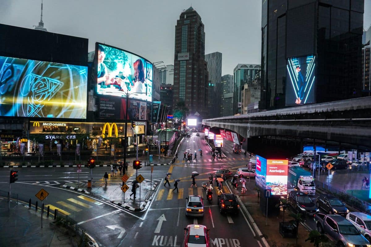
Kuala Lumpur, the capital of Malaysia, is the country’s largest urban area and serves as its cultural, commercial, and transportation hub. The city is located in west-central Peninsular (West) Malaysia, midway along the west coast tin and rubber belt and about 25 miles (40 km) east of its ocean port, Port Kelang, on the Strait of Malacca. Kuala Lumpur lies in hilly country astride the confluence of the Kelang and Gombak rivers, which is why its name in Malay means “muddy estuary”. The city is surrounded by the Main Range, which rises nearby to the north, east, and southeast.
The origin of Kuala Lumpur dates back to 1857, when a group of 87 Chinese tin miners founded a settlement at what is now the suburb of Ampang. Despite its malaria-infested jungle location, the community flourished as a tin-collecting center due to its strategic command over both river valleys. In 1880, Kuala Lumpur superseded Klang (now Kelang) as the state capital. The city’s rapid growth thereafter has been attributed to Sir Frank Swettenham, the British resident after 1882, who initiated the construction of the Klang–Kuala Lumpur Railway and encouraged the use of brick and tile in buildings as a precaution against fire and as an aid to better health.
The Map of Kuala Lumpur
Landmarks
Explore Kuala Lumpur landmarks like Petronas Twin Towers, the KL Tower, the Thean Hou Temple, the National Mosque (Masjid Negara), and the Central Market, each offering a unique blend of cultural, architectural, and historical significance.
Neighborhoods
Explore the popular expat area of Bangsar, TTDI, Damansara Heights, Ampang, the vibrant Bukit Bintang, and the culturally rich Chinatown from Kuala Lumpur.
Food and Drinks
Kuala Lumpur offers a wide array of food and drinks and is known for its diverse food culture influenced by Malays, Chinese, Indians, and Eurasians, with must-try dishes such as Nasi Lemak, Satay, and Chili Pan Mee.
Shopping
Explore Kuala Lumpur shopping destinations from high-end malls like Pavilion KL and Suria KLCC, to local favorites like Central Market and Petaling Street, and even unique spots like Avenue K, The Curve, and Mid Valley Megamall.
Night Life
Kuala Lumpur’s nightlife popular spots such as Changkat Bukit Bintang, Jalan P Ramlee with its wide range of options for enjoying the nightlife, and KLCC (Kuala Lumpur City Centre), a multipurpose developing area that becomes one of the most popular nightlife areas by night.
Green Spaces
Kuala Lumpur is home to several green spaces, explore places like Taman Tugu, Kuala Lumpur Forest Eco Park, Perdana Botanical Gardens, and Permaisuri Lake Garden, all of which provide city dwellers and visitors alike with beautiful, tranquil spaces for recreation and relaxation.
Transportation
Kuala Lumpur boasts an efficient transportation network, from the MRT (Klang Valley Mass Rapid Transit), LRT (Light Rail Transit), Monorail, and KLIA Transit (KLIA Ekspres), to public buses, KTM Komuter, taxis, and e-hailing services, making it easy for both locals and tourists to navigate the city.
Accomodation
Kuala Lumpur offers a wide range of accommodations to suit every budget, from luxury hotels like the Hilton Kuala Lumpur and The Royale Chulan Kuala Lumpur, to more affordable options, all providing excellent service and facilities to ensure a comfortable stay.
Travel Tips
When traveling to Kuala Lumpur, it’s crucial to familiarize yourself with the city’s cultural diversity, use the efficient train system or Grab for commuting, prepare for hot weather, shop wisely, visit the gardens and night markets, and make sure to savor the national foods.